Vietnam Geography
Vietnam covers an area of 330,992 thousand sq km. Three-quarters of the country consists of mountains and hills of which the highest is 3143-meter Hoang Lien mountain, and the longest is the Truong Son range which runs almost the full length of the country. The country’s coastline is 3200 km having many beautiful beaches along.
Vietnam’s northern terrain is mostly mountainous or hilly, with some highland areas covered by a thick green blanket of jungle, about half the total land area.
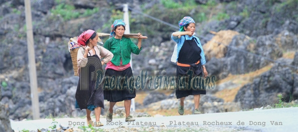
Dong Van Rock Plateau of Ha Giang Province is the most northern region of Vietnam with 75% of the area's surface is rock and elevation above 1,000m above sea level
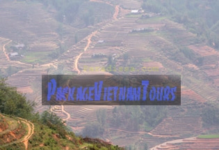
The North West of Vietnam has hilly terrains with elevation from above 1,000m to over 3,000m above sea level. The North West has the highest elevation of Vietnam and the terrain of Vietnam gets lower and lower from the north western region to the south eastern region of the country. All rivers in Vietnam flowers from the north-western direction to the south-eastern direction.
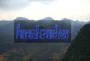
The North East of Vietnam is basically hilly and the elevation is lower than the North West. Thanks to south-easterly monsoon which blows mostly during the summer months, the North East receives more precipitations than the North West and hence more forests.
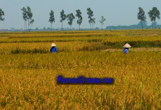
The Red River Delta and coastal plains in the lowland part of the North are heavily populated and intensively cultivated almost entirely by rice fields. The Red River valley is a geological transformation - the collision of India and Eurasia tectonic plates. Much of this Delta region is seasonally flooded, a complex network of dikes and levees help to prevent serious flood damage.
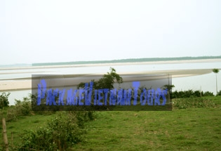
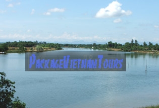
The Red River at Phu Tho Province
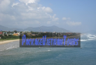
The Central Region of Vietnam is flanked by a narrow of low land strip to the east and mountains to the west.
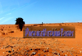
The south Central Region of Vietnam is granted with desert land, red sand dunes and white sand beaches.
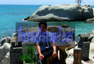
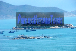
The blue sea of Ca Na Ninh Thuan Province Vietnam
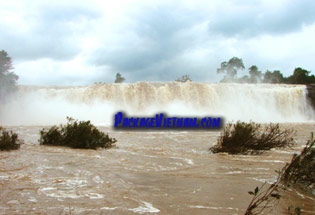
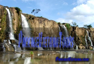
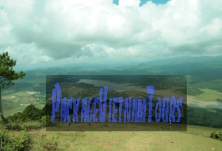
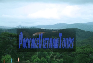
The Central Highland of Vietnam with temperate climate consists of system of plateaus and mountains dissected by ravines, rivers, streams and wild waterfalls.
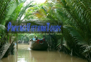
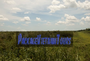
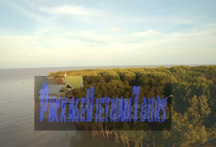
The southern part of Vietnam is dominated by the estuary of the Mekong River system and is low, flat, and frequently marshy. The rich soil in the Mekong Delta is the most fertile in the country. Areas immediately north and east of Ho Chi Minh City in the Mekong Delta are much more varied – with low-lying tropical rain forest, upland forest, and the rugged Truong Son Mountain Chain.
Location: Southeastern Asia, bordering the Gulf of Thailand, Gulf of Tonkin, and East Vietnam Sea, alongside China, Laos, and Cambodia
Geographic coordinates: 16 00 N, 106 00 E
Map references: Southeast Asia
Area:
Total: 329,560 sq km
Land: 325,360 sq km
Water: 4,200 sq km
Land boundaries:
Total: 4,639 km
Border countries: Cambodia 1,228 km, China 1,281 km, Laos 2,130 km
Coastline: 3,444 km (excludes islands)
Maritime claims:
contiguous zone: 24 nm
continental shelf: 200 nm or to the edge of the continental margin
exclusive economic zone: 200 nm
territorial sea: 12 nm
Climate: tropical in south; monsoonal in north with hot, rainy season (m-May to m-September) and warm, dry season (m-October to m-March)
Terrain: low, flat delta in south and north; central highlands; hilly, mountainous in far north and northwest
Elevation extremes:
lowest point: East Vietnam Sea 0 m
Highest point: Ngoc Linh (or Fansipan) 3,143 m
Natural resources: phosphates, coal, manganese, bauxite, chromate, offshore oil and gas deposits, forests
Land use:
arable land: 17%
permanent crops: 4%
permanent pastures: 1%
forests and woodland: 30%
other: 48% (1993 est.)
Irrigated land: 18,600 sq km (1993 est.)
Natural hazards: occasional typhoons (May to January) with extensive flooding
Environment-current issues: logging and slash-and-burn agricultural practices contribute to deforestation and soil degradation; water pollution and overfishing threaten marine life populations; groundwater contamination limits potable water supply; growing urban industrialization and population migration are rapidly degrading environment in Ha Noi and Ho Chi Minh City
Environment-international agreements:
party to: Bioersity, Climate Change, Desertification, Endangered Species, Environmental Modification, Hazardous Wastes, Law of the Sea, Ozone Layer Protection, Ship Pollution, Wetlands
signed, but not ratified: Climate Change-Kyoto Protocol, Nuclear Test Ban
Vietnam Travel Guides
- Activities
- Arts & Entertainment
- Bac Kan
- Bac Lieu
- Bac Ninh
- Battlefields
- Ben Tre
- Buon Ma Thuot
- Ca Mau
- Can Tho
- Cao Bang
- Cat Ba Island
- Chau Doc
- Climate
- Cu Chi Tunnel
- Da Lat
- Da Nang
- Dangers & Annoyances
- Economy
- Embassies & Consulates for Vietnam
- Embassies & Consulates of Vietnam
- Festivals & Events
- Food & Drinks
- Geography
- Gia Lai


 Print
Print 